Maps VS Gps in 4WD: Which one is best?
Published by John on 29th Jan 2021

Many of us have been itching to get away and into some proper Aussie isolation; one thing this great country offers in buckets...

Those that do have the opportunity to get out in the scrub regularly, most would already have the basics like some sort of shelter and sleeping gear (whatever your style - swag/tent/roof top tent/pop-top trailer/caravan), basic to advanced kitchen/cooking equipment, transport whether that be by foot, bike or vehicle, the options and configurations now-a-days are endless
Among the list of equipment highly recommended to be included in your kit, but often overlooked, are navigation tools.
Maps
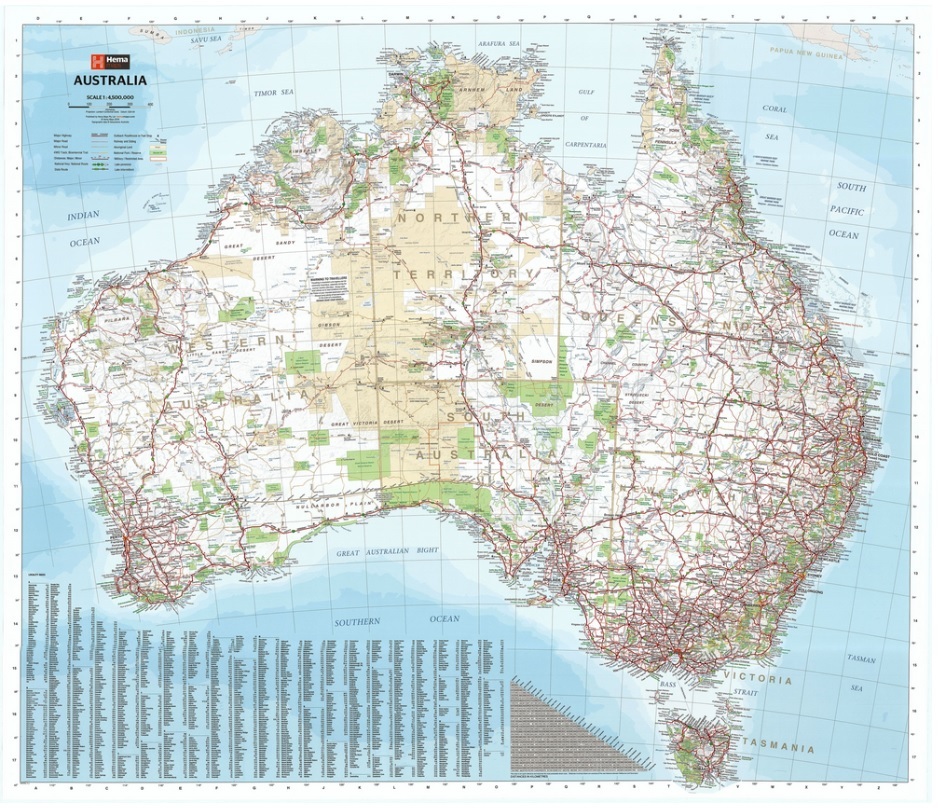
For many years one of the most common and essential pieces of equipment is the good old map.
With the assortment of technology available in recent years, there are many modern options available for us to navigate to our destination, maps are now often considered a thing of the past.
But there is a lot of the fun using navigation skills nearly forgotten and plotting your route using a paper map.
Passing these techniques onto our children can also make the most out of some of those "are we there yet" moments.
How about giving them a map and asking them the question instead.
Maps can be a recreational tool also - picture being setup at your campsite and planning a hike to explore the local area.
Sitting around a map, sharing ideas about waterways with swimming holes or scenic ridgelines and working out the best way to get there.
It’s a terrific way to get some education in to the kids without them realising - a bit like sneaking veges into their dinner - good for them!.
Maps are one of the best bits of kit for PROVIDING NAVIGATION INFORMATION ABOUT AN AREA YOU ARE TRAVELING THROUGH
A seasoned map reader is able to locate themselves on a map using various tools and techniques, but it does take experience.
For most of us, a better tool to use to find out where you are is a GPS.
GPS Receivers
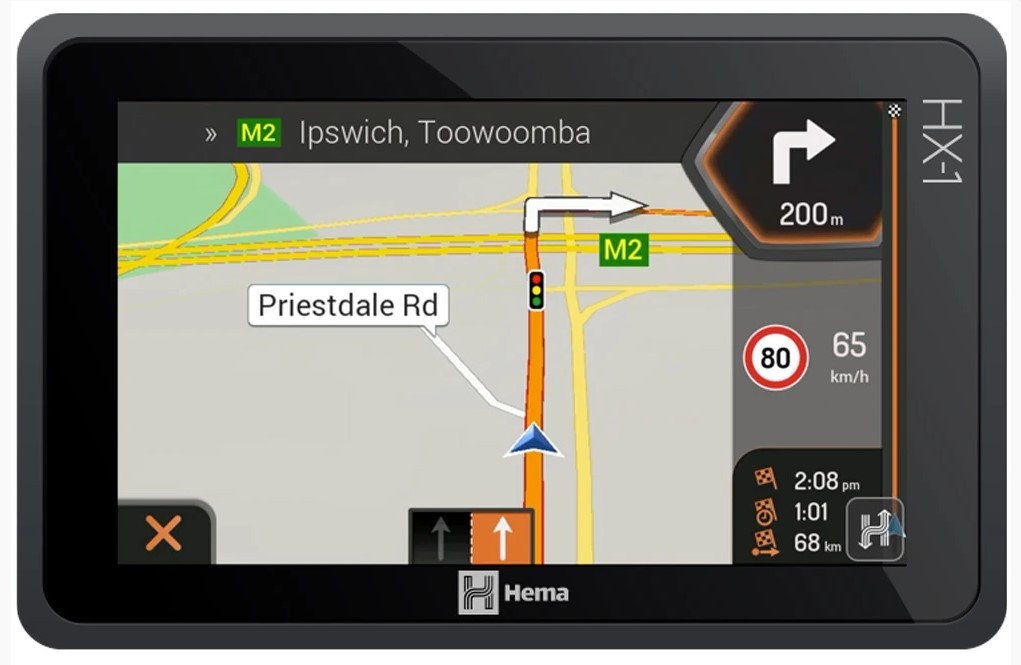
The modern GPS is a great device.
It is quite a complicated system, although in a nutshell there are a network of GPS satellites orbiting the planet with each satellite constantly transmitting its location and current time using radio frequencies.
A GPS receiver (commonly fitted to a vehicle, or handheld) detects these transmissions, compares the information it receives (and when it receives it) from several satellites, and uses this information to determine where on the surface of the planet it is.
Typically, 4 satellites are required to calculate your location reasonably accurately, the more satellites picked up the faster and more accurate the result.
One of the outstanding features of a GPS receiver is as it uses radio frequency completely independent from phone / network / internet / Wi-Fi coverage, as long as your unit has battery life and you can see the sky (Note: tall buildings/trees etc can reduce performance) then it’ll work anywhere on the planet - including the middle of the ocean.
Conceived in the early 1970's by the US government, the GPS system was initially restricted for military use only.
In the 1980's it was opened up for civilian use by the then President Ronald Reagan.
Currently, this first GPS system is still owned, maintained and controlled by the US Government
Since the 1980's there have been numerous upgrades and 'next generation' systems implemented but they essentially do the same thing the same way.
Several countries have also created their own GPS network of satellites due to the obvious security issue of the original being under US control.
While a GPS is an extremally useful navigation device, there have been several cases over the years showing relying on a GPS system alone to plot your route can end in disaster.
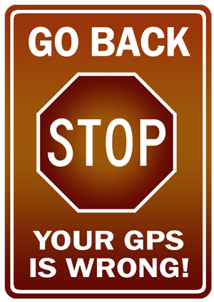
"Death by GPS" has its own Wikipedia entry - its a brief read but contains some great advice.
A sad case in freezing far Eastern Russia where a pair of teens using GPS chose the shorter suggested route rather than the longer second option shows how easily we can be led down the wrong path.
What the GPS did not make clear was the shorter path was actually an abandoned highway known as the "Road of Bones", which was no longer regularly maintained.
With temperatures around -50degC and a mishap with a stick piercing the radiator their adventure ended disastrously with one dying and the other suffering acute hypothermia due to it taking a week to find them - Read more – click here
Here are a few more cases where budding navigators survived but only just….
Unplanned 3-day tour of Death Valley California
Car competes with train - on train tracks
Is this a road or a boat ramp
Like any tool GPS receivers have their short comings and, as long as the user is aware of them, they can be worked around.
To be fair, the GPS receivers in all the above examples worked as intended.
What failed was the route mapping software loaded onto the unit.
The technology is just not quite there to make them a reliable single tool to navigate in all situations.
They can be used but should not be relied upon for route planning or guidance on their own.
Had the Russian teens in the tragic story above taken the time to study a traditional map, there is a good chance it would have indicated the road was not maintained.
It may have even shown it was not suitable for their 2WD vehicle.
Anyway - enough GPS bashing.
GPS units are the best tool for telling you WHERE YOU ARE
Local Guides
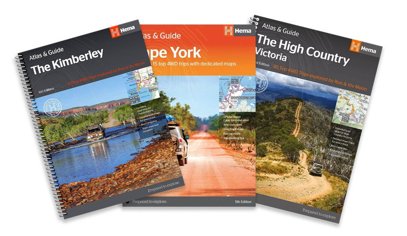
A third and often overlooked tool used for planning a trip are local guides.
Local guides provide highly detailed information about roads, towns, forests, campsites, points of interest etc.
They often contain photos, list facilities, pricing information, reviews, the list goes on.
The level of detail included in these guides can range from single page pamphlets covering particular sites to books covering regions with detailed information about a wide range of points of interest.
This level of info can be a real game changer!
Ever turned up to a camp site or caravan park only to find out pets are not allowed, or the facilities are not quite what was imagined.
Local guides can also help plan your trip by high lighting some interesting sites that often easily can be overlooked.
Got a favourite camp ground but are struggling to find new activities in the area?
Want to break from routine and find a new site to camp and explore?
A quick look in a local guide may provide enough interesting stops in one area that it could change the course of your trip.
Local guides usually contain some very detailed information about local road conditions but they must be treated as they are intended – THEY ARE A GUIDE TO INTRODUCE A LOCAL AREA OR REGION
They are generally not terrifically useful as navigational aids although the Hema Atlas and Guide range does offer topographic map content!
So, what should I use to make the most out of a trip
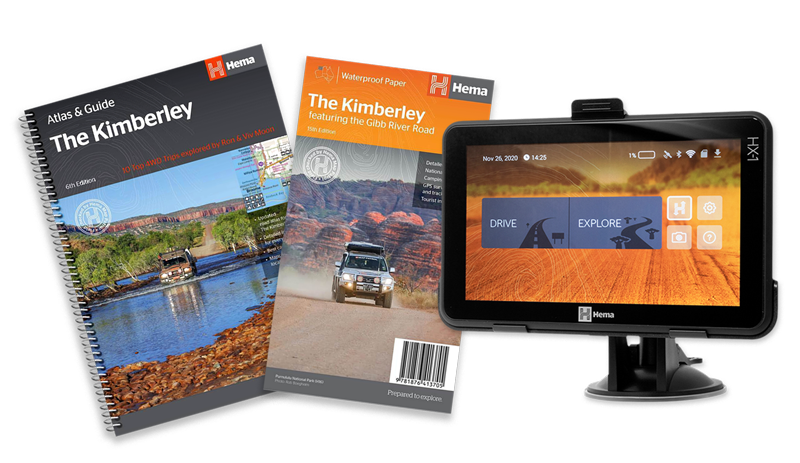
An ideal solution is to have access to all three.
Maps and local guides to plan your journey and GPS receiver and maps to help get you there.
Maps and local guides come in a variety of formats, scales, levels of detail so picking the right combination may require asking your favourite map store (www.allfourx4.com.au) some questions.
Many local guides now, especially the higer quality ones, include very detailed maps which can negate the need for a traditional fold out style map.
Personally, I find nothing better than unfolding a map on a table and start pondering what to do or where to go.
Some suggestions:
Alpine National Park - Victorian High Country
Want a taste of Victorian High Country? Check this great 4wd trip from Brown Davis 40th anniversary!
Cape York & Old Telegraph Track - Far North Queensland
Heading North? Check these handy tips!
The Kimberly - North Western Australia
Parks and Wildlife Service - Western Australia
Browse our entire Hema range of Hema Maps, atlases and guides here
Here is a MadMatt4wd overview of the Hema Maps
And one of the Hema GPS Navigator
Finally, one picture to highlight another advantage of maps over a GPS.
Not recommended to use this technique with a GPS to find a random place to visit.....
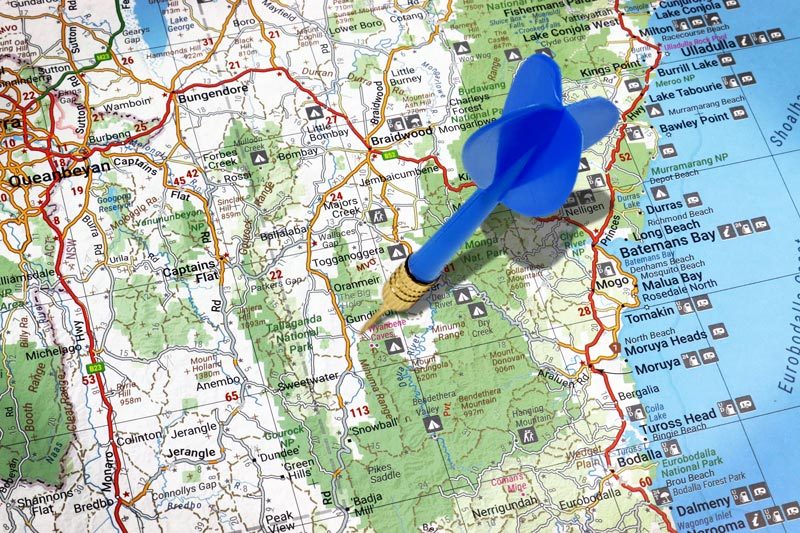
If you do want to try, this is the map to do it with - you'll need to BYO darts!
Most important of all - have fun out there exploring!

